
Geospatial
Solving your property problems with location-based solutions.
Overview
Measured survey
Our team supports projects of all scales with measured surveys of all types of measured survey, including digital twins, boundary disputes, utility mapping and BIM.
Digital property management
Through the collection and storage of the information required to manage a modern property portfolio, our dashboards allow you to make informed decisions.
Mapping
We use the latest geospatial software to produce bespoke plans and maps to support in selling, leasing and managing property.
Our analysis services
A map with multiple sites located and pinned
Site finding
Crowd sourced data gathering
Solar and wind farm site finding
Asset relocation
Origin destination analysis
Planning monitoring
Site finding
Our site-finding app identifies locations that match the requirements of your project and the criteria for your property search - whether that's national or local.
Digital Twins
Digital twins use the latest 3D mapping technology to create a model of a physical asset, from a single floor in an office to multiple properties in a portfolio or a rural estate.
Farm and Estate Management Terrier
A bespoke Farm & Estate Management Terrier would allow you to combine all the data held in spreadsheets into a single visual database.
Meet the Team
- Loading...
- Loading...
Related Case Studies
 Read case studyJune 2024
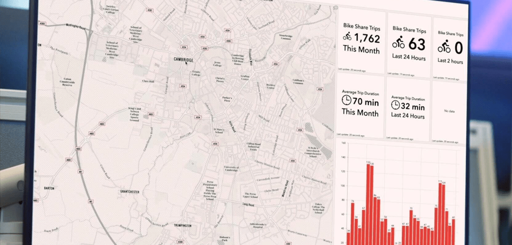
Cycling transportation study
Our client, Cambridge Ahead, is a business and academic member organisation dedicated to the successful and sustainable growth of Cambridge and its region in the long-term.
Tags:- East of England
- Commercial
- Geospatial
 Read case studyApril 2024
Estate Management Police and Crime Commissioners
Carter Jonas provide a full range of operational property support services across the entirety of the Norfolk and Suffolk police portfolios, resourced from our Eastern regional office.
Tags:- East of England
- Public & Third Sector
- Commercial Property & Asset Management
 Read case studyApril 2024
The Broers Building
Carter Jonas are instructed by the University of Cambridge to manage the Broers Building, which is located at the centre of the University’s 165-acre West Cambridge site.
Tags:- East of England
- Commercial
- Commercial Property & Asset Management
Est. 1855
Leading the property industry for over 160 years
700+
Property experts working across the UK
9,500+
Active registered buyers and tenants on our database
99.6%
of asking prices achieved
Research and Insights
 Read insight
The London Office Market | Q2 2026
Explore Carter Jonas' London Office Market report for Q2 2026. Get key insights, trends, and data shaping London's office sector to inform your property decisions.
 Read insight
MEES Update: What the revised timetable means for Commercial Property
Explore the latest MEES update for commercial property, including revised EPC B targets, removed interim milestones, and what landlords and investors should do next.
 Read insight
Reducing development risk through early ecological advice
Reduce planning risk by involving ecologists early. Learn how addressing protected species, habitat constraints and biodiversity net gain can improve project outcomes.
Need more tailored advice? Get in touch with your local office.
Our team will contact you directly to discuss your property needs.